
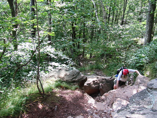
At the risk of embarrassing Another Kevin, he has a range of knowledge which is incredibly useful in trip planning. That list would include trail area history, compass use, orienteering, and all season hiking just about anywhere in New York State, to name just four.
First questions for AK: Are there any water sources on the Escarpment trail in the Catskills? Is there water at the two shelters in the Windham Blackhead range? What are those shelters called? Is it pretty much guaranteed that there will be enough snow on the ground to use as a water source the last weekend of March? Do I really need to bring snowshoes then? Am I required by some regulation I don't know about to bring snowshoes?
He really doesn't have anything else to do, so feel free to ask him questions, too.
kick out the jams, bunny rabbit!


