
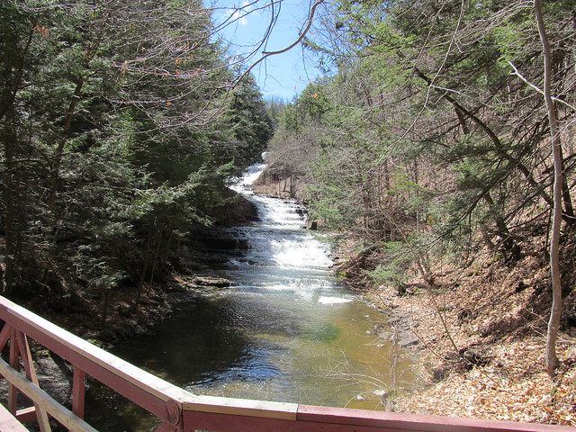
Took a walk yesterday, sightseeing in the Huyck Preserve in Rensselaerville, NY, where I hadn't been before. (You could say that I went Huycking.) Put in 11¼ miles on mostly easy trails. Got to gawk at Rensselaerville Falls:
[IMG:https://farm8.staticflickr.com/7659/17281758762_50bb76a427_z.jpg]
Rensselaerville Falls by ke9tv, on Flickr
[IMG:https://farm9.staticflickr.com/8800/16663602483_9c5031bd06_z.jpg]
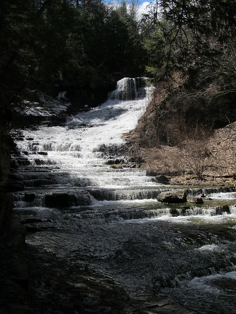
Rensselaerville Falls by ke9tv, on Flickr
[IMG:https://farm9.staticflickr.com/8748/17282022402_88a3f73667_z.jpg]
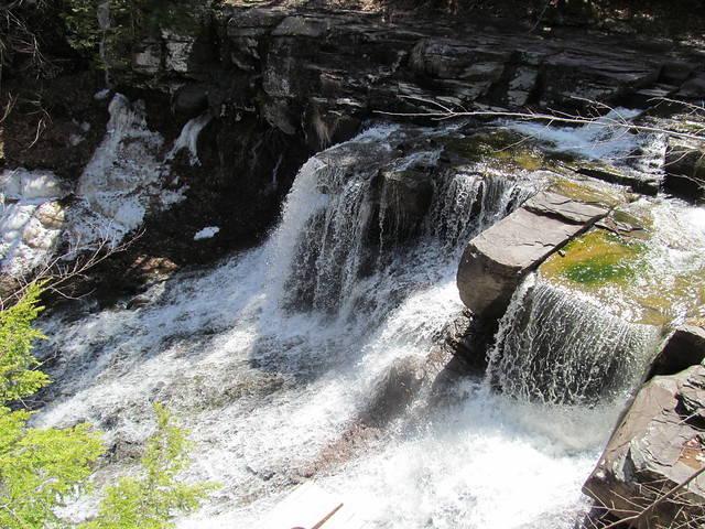
Rensselaerville Falls by ke9tv, on Flickr
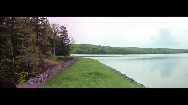
walk around Myosotis Lake:
[IMG:https://farm9.staticflickr.com/8700/17283159931_5b2b38a94e_z.jpg]
Huyck Preserve swimming beach by ke9tv, on Flickr
curse the mud and blowdown,
[IMG:https://farm9.staticflickr.com/8743/17096177710_52b106f892_z.jpg]
Washed-out trail by ke9tv, on Flickr
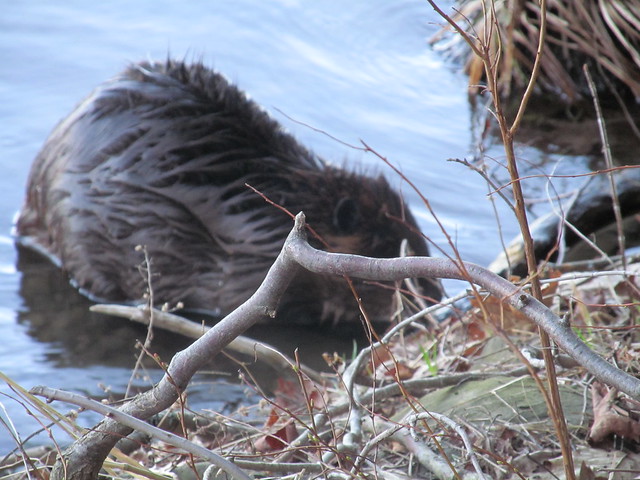
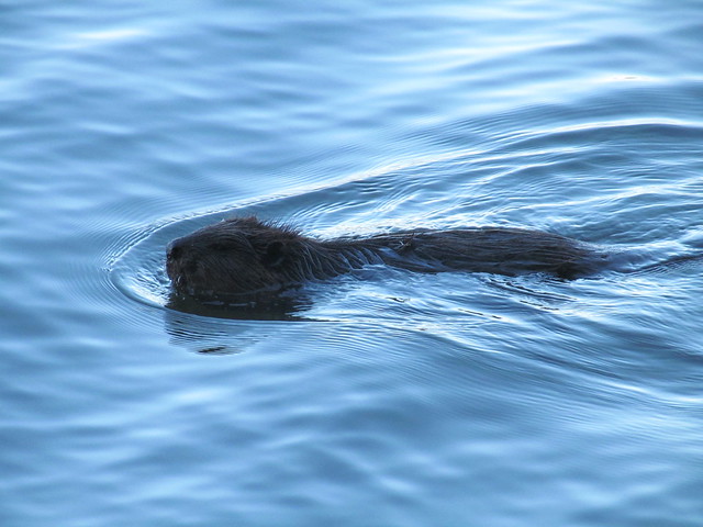
and get up close and personal with a beaver.
(Warning: Wet beaver shots!)
Lots more pictures in my Flickr album.
[IMG:https://farm8.staticflickr.com/7659/17281758762_50bb76a427_z.jpg]
Rensselaerville Falls by ke9tv, on Flickr
[IMG:https://farm9.staticflickr.com/8800/16663602483_9c5031bd06_z.jpg]
Rensselaerville Falls by ke9tv, on Flickr
[IMG:https://farm9.staticflickr.com/8748/17282022402_88a3f73667_z.jpg]
Rensselaerville Falls by ke9tv, on Flickr
walk around Myosotis Lake:
[IMG:https://farm9.staticflickr.com/8700/17283159931_5b2b38a94e_z.jpg]
Huyck Preserve swimming beach by ke9tv, on Flickr
curse the mud and blowdown,
[IMG:https://farm9.staticflickr.com/8743/17096177710_52b106f892_z.jpg]
Washed-out trail by ke9tv, on Flickr
and get up close and personal with a beaver.
(Warning: Wet beaver shots!)
Lots more pictures in my Flickr album.
I'm not lost. I know where I am. I'm right here.
The post was edited 1 time, last by AnotherKevin ().


