

hikerboy wrote:
you're allowed to contribute too you knowsocks wrote:
Yup, I am, wish you guys would go hike some other places.rafe wrote:
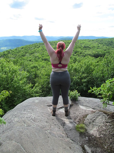
Anyone bored with the White Mtns, or who thinks they're too tame or too crowded, should visit the DAKs. Well, they do get crowded at times. But they're as wild and gnarly as anything on the AT. And as the photos show, the views are magnificent.


